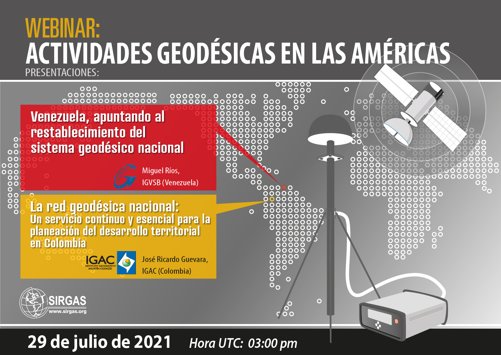
As part of the communication program of the geodetic activities carried out in the Americas and the Caribbean, SIRGAS invites the geodetic community to participate in the webinar “Geodetic activities in the Americas“. The following presentations will be held there:
- Venezuela, aiming at the reestablishment of the national geodetic system
For some years, Venezuela has gone through political, economic and social situations, which have led to the disappearance of the national geodetic system. Currently, despite going through a difficult time historically, the restructuring of its continuous monitoring system and the proposal of an experimental processing center focused on GNSS data has been proposed.
Speaker: Miguel Ríos (IGVSB)
- The National Geodetic Network: a continuous and essential service for the planning of territorial development in Colombia
The presentation aims to show how in Colombia the National Geodesic Network, through the Multipurpose Cadastre, has acquired relevant importance in the development processes of Territorial Entities, in particular, those established in Development Projects with a Territorial Approach (PDET), inasmuch as it provides the spatial framework on which all the training, updating and cadastral conservation activities are developed for the preparation and strengthening of the Territorial Development Plans in their environmental, social and economic components.
This approach seeks to strengthen the processes for the standardization and integration of data within the framework of the Spatial Data Infrastructure (ICDE), so as to allow the implementation of strategies that facilitate the sharing of GNSS technological infrastructure to provide free, accurate information, quality, opportunity and covering the largest amount of the national territory. With the strengthening of the National Geodetic Network, it is conceived to implement services in real time that meet the needs of users who require precise coordinates for the development of their projects, through RTCM Network Transport via Internet Protocol (NTRIP), Virtual Reference Stations (VRS) and Processing in a Precise Point Web environment (PPP), through a strengthened Control Center that allows administering and managing active and passive networks, so that through a series of alerts it allows administrators The system should act promptly and clearly inform users of the state of the network at a given moment.
With this modernization project of the National Geodesic Network, through the multipurpose Cadastre, geodesy becomes a continuous and essential service for the planning of Territorial development in Colombia and is consolidated as a support tool for the elaboration of public policies, programs and projects of the national, departmental and municipal governments.
Speaker: José Ricardo Guevara (IGAC)
Event date:
July 29, 2021 03:00 p.m. (UTC)
Meeting link:
https://reuna.zoom.us/j/83301223849?pwd=czUzeXAwOXQvS2JXYnpxRE5Ra0Mwdz09#success
Meeting ID: 833 0122 3849
Access code: 403601

