

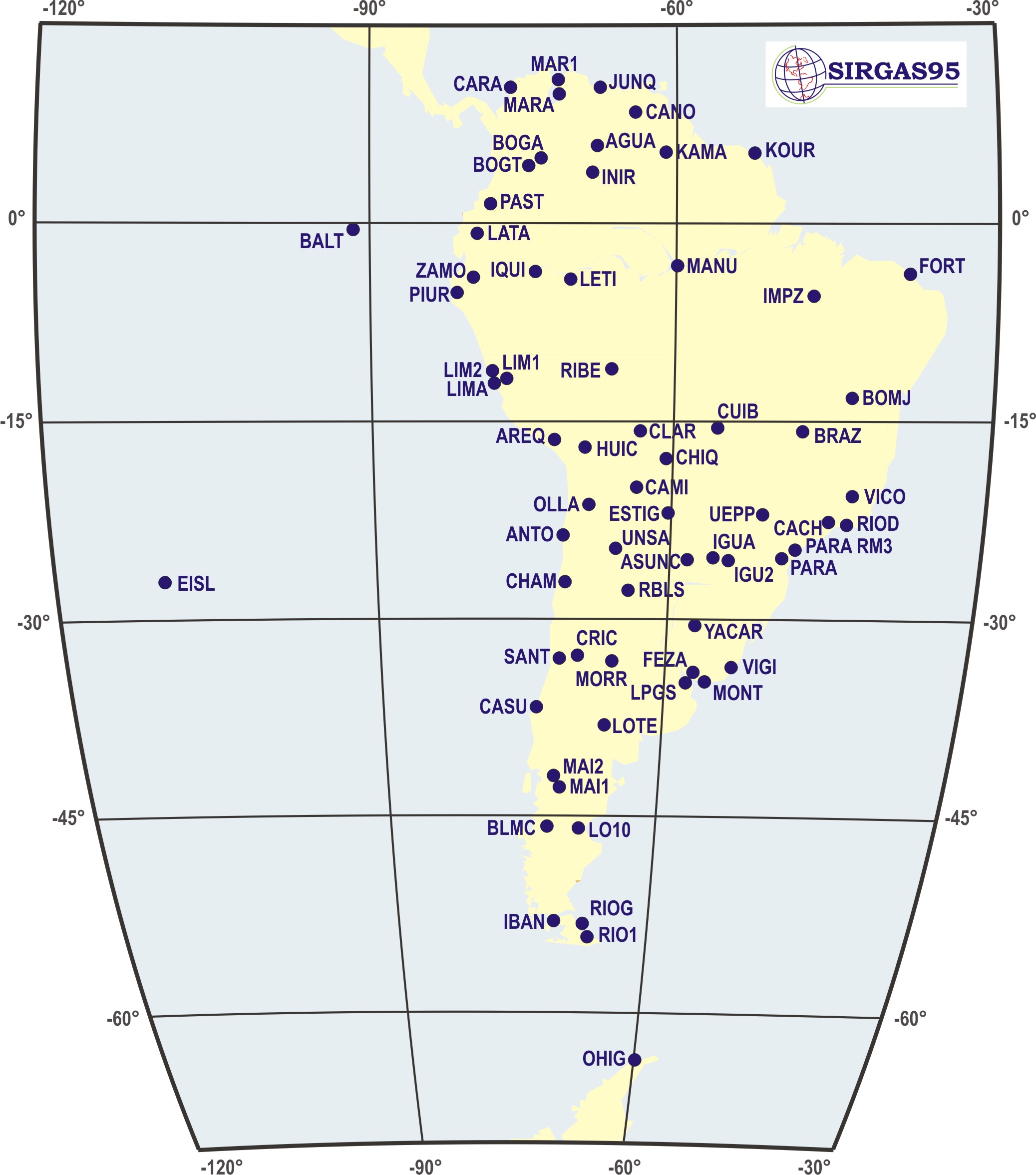
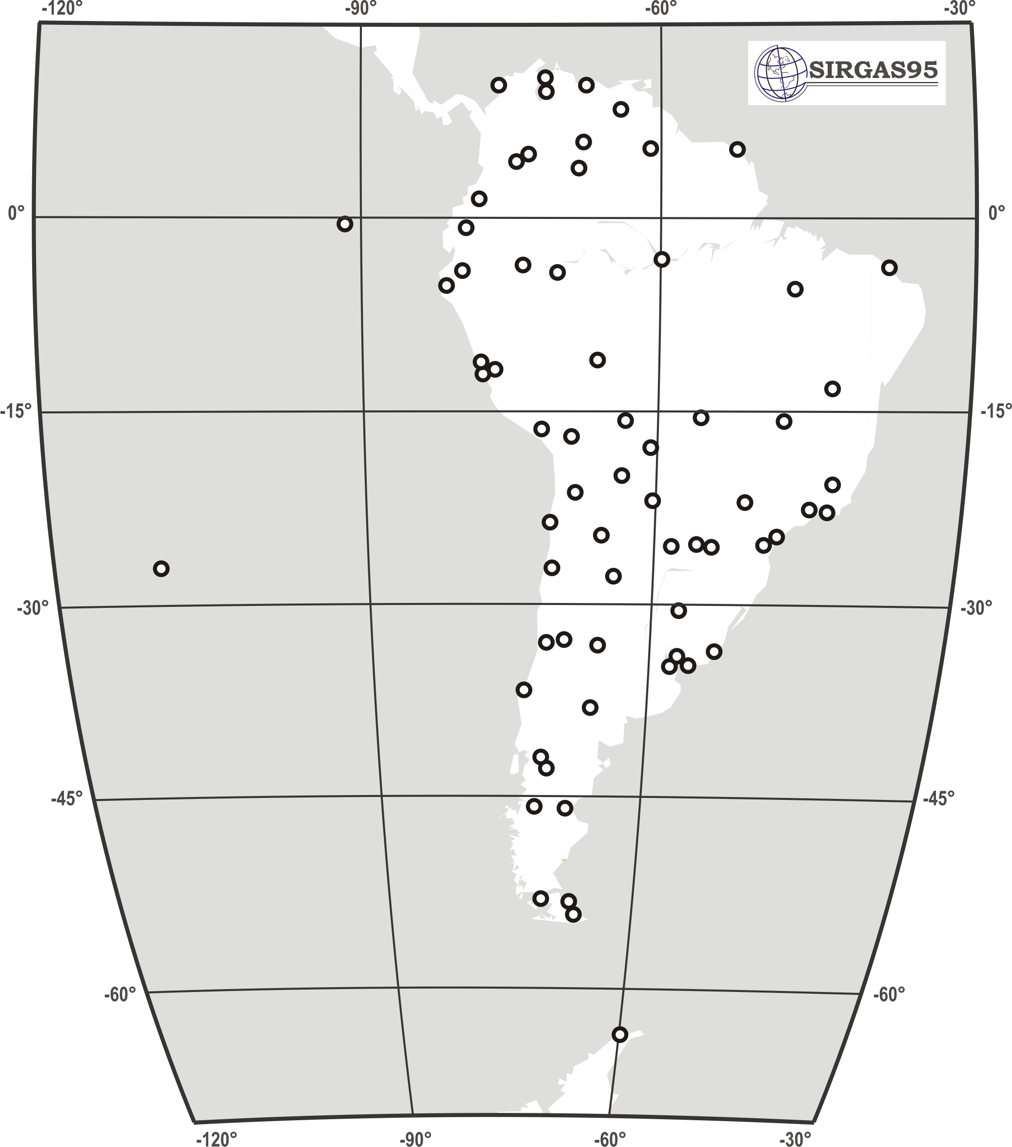
The first GPS SIRGAS campaign was carried out from May 26 to June 4, 1995 and included 58 stations over South America. It was measured thanks to a common effort between the participating South American organizations and the contributing European and North American institutions to make possible the availability of the required GPS receivers and operators. This campaign was independently processed by DGFI (Deutsches Geodätisches Forschungsinstitut) and NIMA (US National Imagery and Mapping Agency, today NGA: National Geospatial-Intelligence Agency). DGFI used the Bernese software v. 3.4 with some modifications implemented at DGFI, and NIMA used the GIPSY-OASIS II software. After applying a seven parameter similarity transformation (Helmert transformation) the maximum difference between the two solutions was 3,5 cm with RMS differences of ±1,0 cm in X, ±1,4 cm in Y, and ±0,7 cm in Z. These discrepancies are well-explained by the different satellite orbits applied by the two processing centres, and the different treatment of the elevation angle dependent phase centre variations in each individual analysis. The final combined SIRGAS95 solution is given in ITRF94, epoch 1995.4.