-
Mar, Fri, 2023
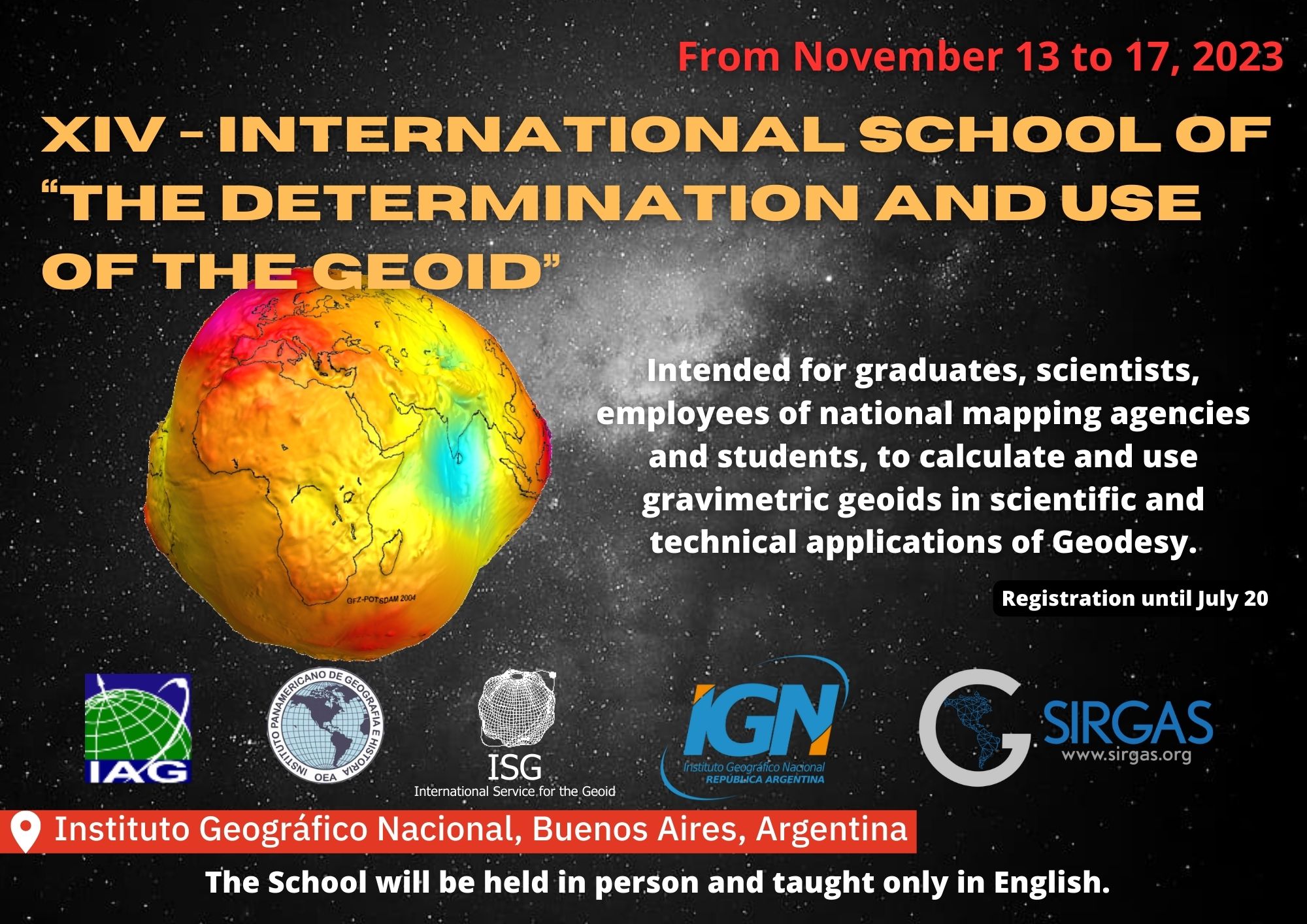
14th International School on “The Determination and Use of the Geoid”
From November 13 to 17, 2023 will be held the 14th International School on “The Determination and Use of the Geoid”. The School will take place at the Instituto Geográfico Nacional, in Buenos Aires, Argentina. The School will be held in person and taught only in English.
The general purpose of the full-week intensive Geoid School is to prepare new graduate students, young scientists, and employees of national agencies to compute and use gravimetric geoids for scientific and technical applications in Geodesy. In addition, the School provides an excellent opportunity to familiarize with the latest geoid determination development and improve international contacts and collaborations among scientists dealing with gravity field modeling.
In addition, the scientific community must be linked to the Cartographic Agencies responsible for implementing the GGRF in the country so that the research carried out in the scientific framework can be applied to develop regional and local regional geodesy.
The geoid school will be organized in cooperation with the International Service for the Geoid of the International Association of Geodesy
For better use of the knowledge that will be taught at the School, attendees must have a basic understanding of the following topics:
- Concepts about gravimetric measurements and calculations
- Concepts about altimetric measurements and calculations
- Concepts on calculation and use of Digital Elevation Models
Concepts about Geopotential Models
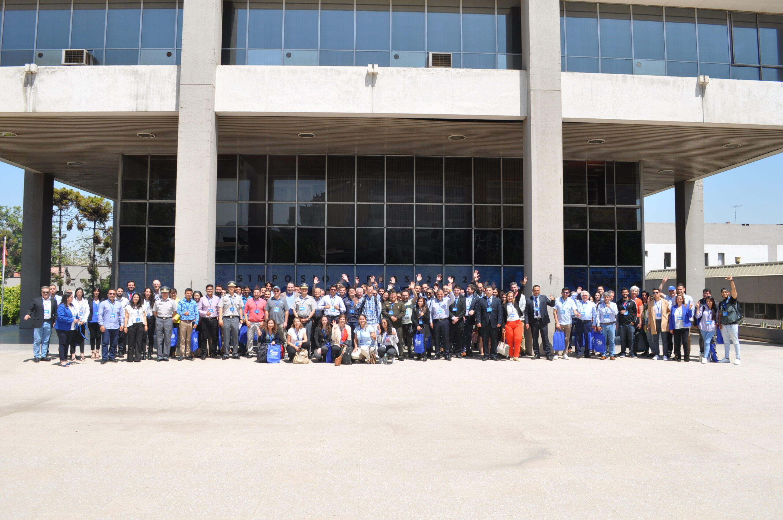
A maximum of 30 attendees is planned, and registration requests were accepted from March 20th to July 20th, 2023.
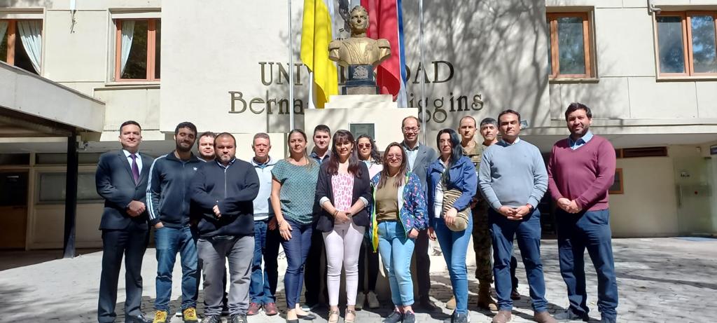
Local Organizing Comitte
- Surveyor Eng. Sergio Cimbaro (President IGN)
- Cnel. Gustavo Caubarrère (President SIRGAS)
- Dra. Daniela Carrion ISG, Politecnico di Milano)
- Dr. Mirko Reguzzoni (ISG, Politecnico di Milano)
- Dr. Gabriel Guimarães (UFU)
- Dra. Claudia Tocho (UNLP)
- Surveyor Eng. Hernán Guagni (IGN)
- Cabo.2ª Laura Camacho (SIRGAS)
- Surveyor Eng. Mariana Eiko (UFU)
Main goals of the XIV – School
Venue of the XIV – Geoid School
The Venue of the XIV – School is the National Geographic Institute of Argentine Republic
Av. Cabildo 381, Ciudad Autónoma de Buenos Aires, Argentina (34,57171° S – 58,43944° O)
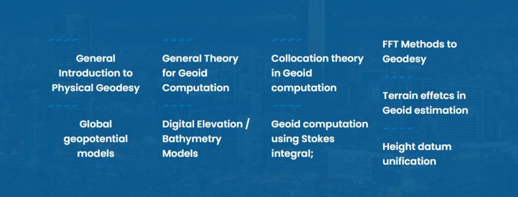
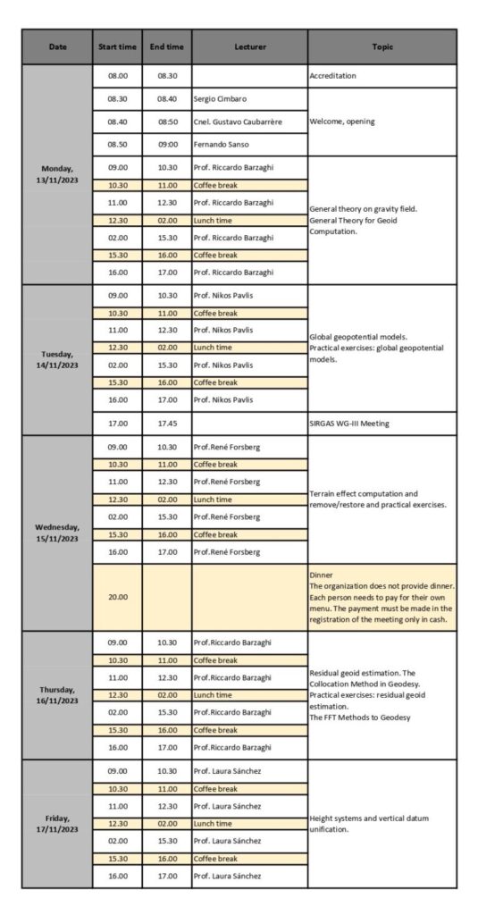
Sessions and preliminary program of the XIV – Geoid School
Facuty
- Dr. Riccardo Barzaghi
Professor Politecnico di Milano
- Dr. Nikolaos K. Pavlis
National Geospatial-Intelligence Agency – USA
- Dr. Rene Forsberg
Professor National Space Institute (DTU-Space). Denmark
- Dra. Laura Sanchez
DGFI-TUM
Registration for the XIV – International School on The Determination and Use of the Geoid
Attendees
Registration for this event has now closed. We look forward to seeing you at the next event.
School places are limited. Priority will be given to participants working on the computation of gravimetric geoids and the unification of the vertical datum.
Once the pre-registration period has ended, a selection process will be carried out to determine who can attend the event. A confirmation will be sent to the selected participants via email or other contact method provided during pre-registration.
Attendees should have basic knowledge of the following topics:
- Concepts of Physical Geodesy
- Concepts on gravimetric measurements
- Altimetric data concepts
- Concepts on calculation and use of Digital Elevation Models
- Concepts on Global Geopotential Models
Prior to school it is recommended to read the book:
Torge, W., & Müller, J. (2012). Geodesy. In Geodesy. From Gruyter.