SIRGAS

Loading

SIRGAS

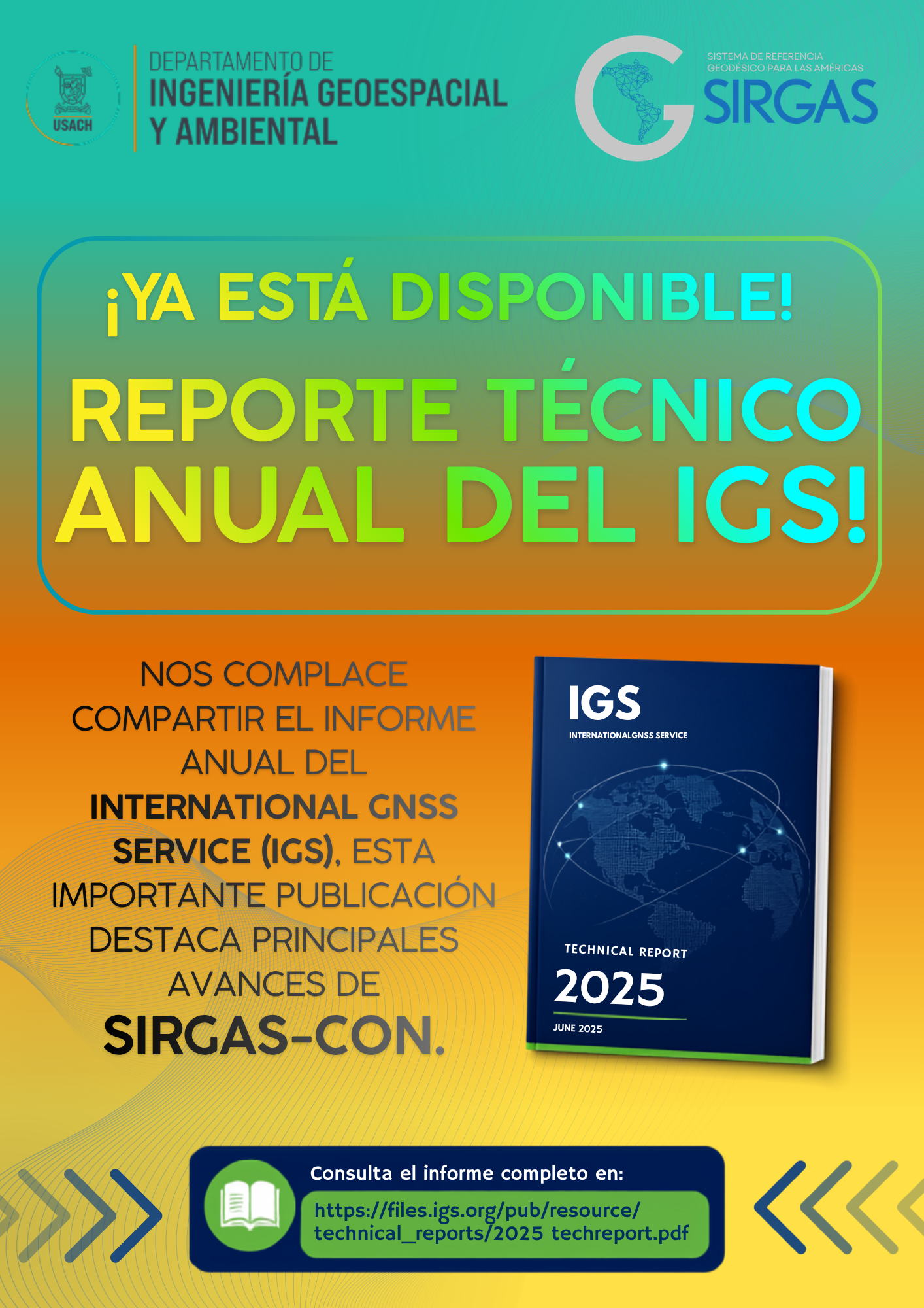
The IGS Annual Technical Report includes the SIRGAS activity report

We are pleased to inform the geodetic community that the International GNSS Service (IGS) Annual Technical Report is now available and includes the SIRGAS annual report, which presents the main activities, progress, and contributions made by our organization over the past year.

The IGS Technical Report is a key reference publication for the international geodetic community. Each edition documents the activities of analysis centers, working groups, projects, and partner organizations that contribute to the development, maintenance, and improvement of the global GNSS infrastructure and geodetic reference frames, providing a comprehensive overview of the achievements of the scientific and technical community.

In this edition, the SIRGAS report highlights the progress made in strengthening the Geodetic Reference Framework for the Americas, the activities carried out by its working groups, the evolution of the regional infrastructure, the processing and analysis of GNSS data, as well as the international cooperation and capacity-building initiatives that drive the growth of geodesy in the region.

The inclusion of the SIRGAS annual report in this publication reflects the commitment and joint effort of the institutions, analysis centers, national agencies, and professionals that make up our community, whose collaborative work allows us to maintain and strengthen a modern, accurate, and sustainable geodetic infrastructure at the service of science, engineering, and society.

We thank all the institutions and specialists who make these results possible and continue to contribute to the development of SIRGAS and the International GNSS Service (IGS).

Consult the IGS Annual Technical Report

We invite the entire community to explore the full report and discover the progress, achievements, and contributions of SIRGAS and the other components of the IGS.

📄 Access the IGS Annual Technical Report here:

https://files.igs.org/pub/resource/technical_reports/

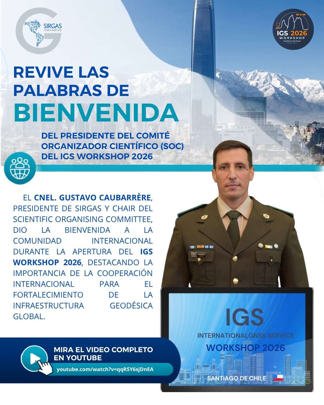
Relive the welcoming remarks of the Chair of the Scientific Organising Committee of the IGS Workshop 2026

As part of the opening ceremony of the IGS Workshop 2026, held in Santiago, Chile, Colonel Gustavo Caubarrère, President of SIRGAS and Chair of the Scientific Organising Committee (SOC), delivered a welcome message to the international geodetic community.

In his address, he emphasized the importance of cooperation among organizations, institutions, and specialists worldwide to continue strengthening the global geodetic infrastructure, a fundamental element for the development of precise reference frames, Earth monitoring, and support for numerous scientific, technological, and land management applications.

He also highlighted the role of the International GNSS Service (IGS) and SIRGAS in promoting international collaboration, knowledge exchange, and the development of technical capabilities that contribute to the advancement of geodesy for the benefit of the global community.

The IGS Workshop 2026 brought together researchers, professionals, and representatives from international organizations to share the latest advances in geodesy, GNSS, and reference frames, solidifying its position as one of the leading scientific gatherings in the field.

Watch the full video

We invite you to relive the welcoming remarks by Colonel Gustavo Caubarrère and learn the message that kicked off this important international meeting.

🎥 IGS Workshop 2026 – Welcoming Remarks by Colonel Gustavo Caubarrère
https://www.youtube.com/watch?v=qRSY6sjDnEA

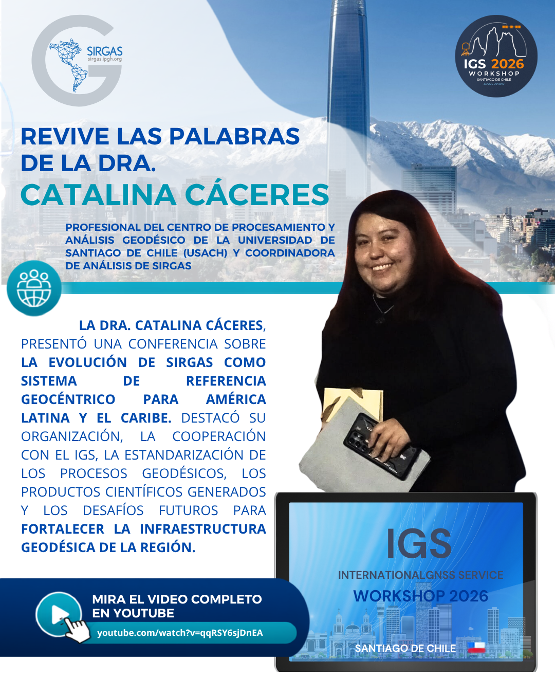
Relive Dr. Catalina Cáceres’s keynote address at the IGS Workshop 2026

At the IGS Workshop 2026, the international geodetic community gathered in Santiago, Chile, to share scientific advancements, strengthen international cooperation, and discuss the challenges facing global geodetic infrastructure.

One of the keynote addresses was delivered by Dr. Catalina Cáceres, who presented a comprehensive overview of the evolution of SIRGAS and its close collaboration with the International GNSS Service (IGS). During her presentation, she highlighted the main advances achieved in geodetic processing, the strengthening of the regional reference framework, and the initiatives that promote a more accurate, reliable, and sustainable geodetic infrastructure for Latin America and the Caribbean.

The presentation also addressed the region’s future challenges, emphasizing the importance of international cooperation, capacity building, and technological innovation to ensure the continuity and modernization of the geodetic infrastructure that supports scientific and engineering applications, global change monitoring, and disaster risk management.

As part of this publication, we are sharing a carousel summarizing the main topics covered during the conference.

Watch the full conference

Dr. Catalina Cáceres’ keynote address is available on the official IGS Workshop 2026 YouTube channel:

🎥 IGS Workshop 2026 – Keynote Speaker: Dr. Catalina Cáceres

We invite the entire geodetic community to view this presentation and learn firsthand about the work SIRGAS is carrying out in coordination with the IGS to strengthen the Regional Geodetic Reference Frame and contribute to the development of the Global Geodetic Reference Frame (GGRF) promoted by the United Nations.

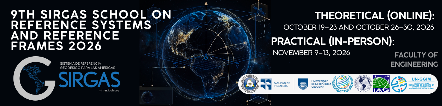
9th SIRGAS School on Reference Systems and Reference Frames 2026

The 9th SIRGAS School on “Systems and Frameworks of Reference” will be held in hybrid mode between October and November 2026. The theoretical phase will take place virtually, while practical activities will take place in person at the Faculty of Engineering of the University of the Republic, in Montevideo, Uruguay.

Aimed at professionals, young scientists and national agency staff, the School will provide specialized training in physical and geometric geodesy, GNSS and gravimetric data processing, network adjustment and use of scientific software. The program seeks to strengthen the technical capabilities of participants in the development and maintenance of geodetic reference frames.

More information: Link

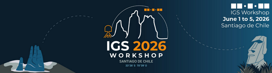
IGS Workshop 2026 – June 1-5, 2026

Chile, where the earth trembles daily and even a traditional cocktail is nicknamed “Earthquake,”
will become the epicenter of an unprecedented scientific gathering in South America.


From June 1-5, 2026, the IGS Workshop 2026 will bring together the GNSS and geodesy community in Santiago, Chile.

Organized by the University of Santiago, Chile (USACH) in conjunction with the Military Geographic Institute (IGM), the workshop will showcase the latest advancements of the International GNSS Service (IGS).

Stay tuned for updates and secure your spot at the IGS Workshop 2026: Chile, epicenter of GNSS orbits: driving global geodesy forward!

Workshop updates (abstract submissions, registration opening, deadlines, etc.) will be distributed through the usual geodesy mailing lists.

To receive them directly, please complete this interest form: https://forms.gle/GTVaesFRgmiA3qbW8 .

More info: https://www.igs-workshop-2026.com/

SIRGAS Symposium 2026

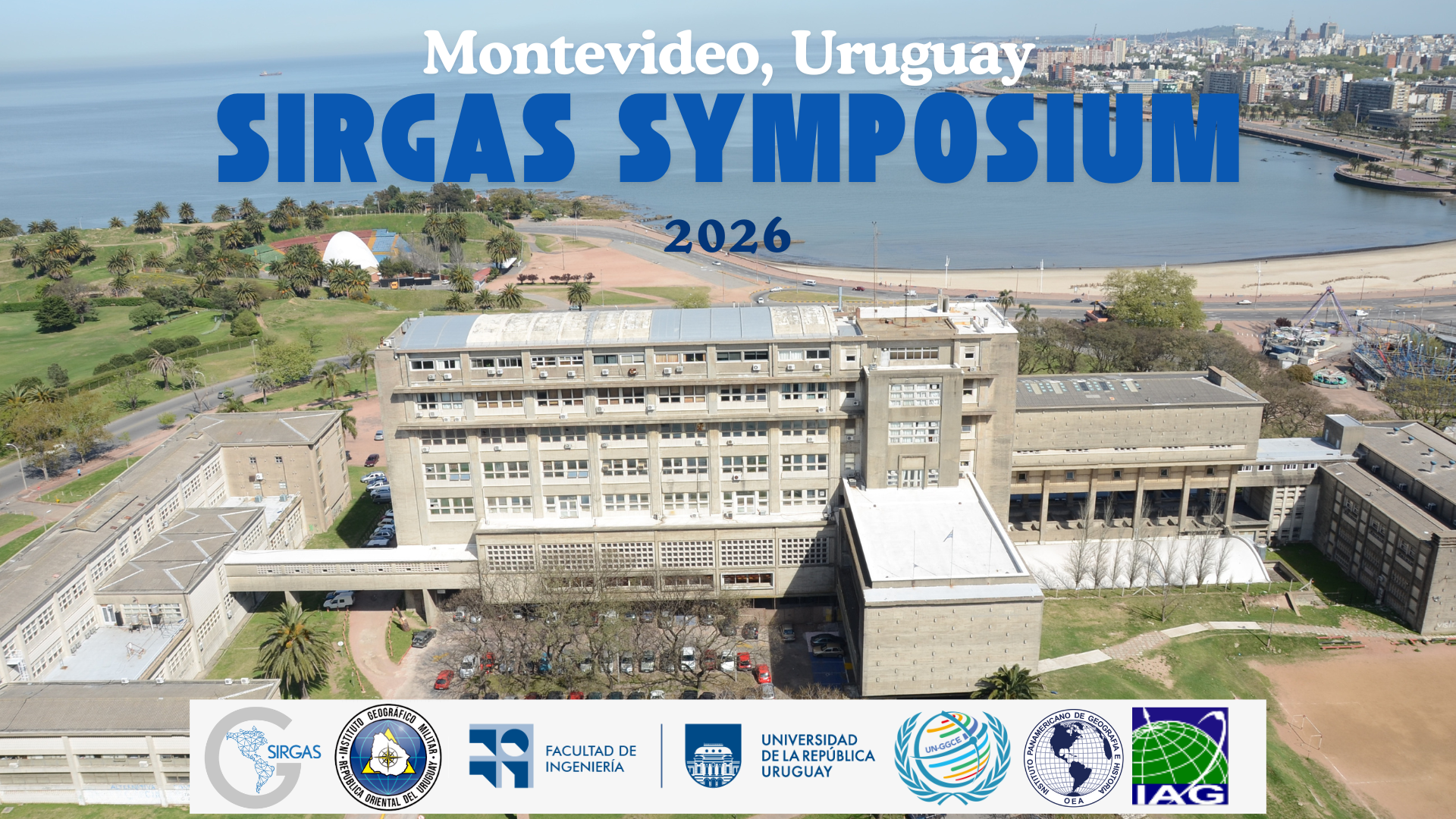
Montevideo will host the SIRGAS 2026 Symposium

From November 3 to 6, 2026, Montevideo will host the SIRGAS 2026 Symposium, an international meeting that will bring together the scientific and technological community linked to geodesy and Earth sciences.

The event aims to promote the use of the SIRGAS geodetic reference frame in the countries of the Americas, strengthen regional cooperation, and contribute to the development of a global geodetic framework aligned with United Nations initiatives for sustainable development.

The symposium will address topics such as geodynamic monitoring and atmospheric studies, the development and maintenance of the SIRGAS reference frame, its applications at the national and regional levels, and the modeling of the Earth’s gravity field.

The event is geared toward public and private organizations, institutions responsible for national geodetic frameworks, universities, research centers, as well as scientists, professionals, technicians, and students connected to these areas.

The event will be held at the Faculty of Engineering of the University of the Republic. Registration will open on May 25, 2026, and the deadline to register and submit abstracts will be September 28, 2026.

For more information, visit the following links: 

This edition of the SIRGAS 2024 Symposium has been organized jointly with the

and has had the support of

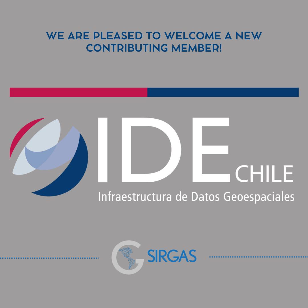
We are pleased to welcome a new contributing member!

According to the SIRGAS 2020 Statute – Art. 6, collaborating members may be those States, agencies, institutions, or individuals who formally express their willingness to contribute scientifically, technically, or financially to the development of SIRGAS projects.

In this context, we are honored to announce that Chile’s Spatial Data Infrastructure (SDI) has officially joined SIRGAS as a collaborating member.

🤝 Its incorporation strengthens the joint work in the construction of reference frameworks and geodynamic and atmospheric monitoring in the region.

Welcome, IDE Chile! 🌍✨

Turn Science into Smiles – Join the #GeodesyCartoon Competition!

#Geodesy is all about measuring the Earth — but what if we could make that exciting, fun, and easy for everyone to understand? The #GeodesyCartoonCompetition invites scientists, students, educators, and artists to turn geodetic science into humorous and eye-catching cartoons!
🧠 Whether you’re a researcher or just someone with a clever idea and a love for drawing — this is your chance to inspire others and showcase the fascinating world of geodesy.
🎯 Why take part? Because science communication matters! Help people everywhere understand why geodesy is essential — from climate monitoring and navigation to disaster management.
What’s in it for you?
🏆 Win up to 900€ in prizes,
🎟️ Get a reserved spot at the IAG Geodesy Reception 2026 (EGU, Vienna)
🌐 Be featured across the global geodesy community
🧾 Receive a free IAG Membership
🖍️ All styles welcome – digital or hand-drawn
💡 All you need is a clear, creative idea that makes geodesy fun and memorable.
Let’s make geodesy visible, understandable, and unforgettable – one cartoon at a time.

🗞️ GEOM@IL Newsletter No. 42 – Now available🌍

The new edition of GEOM@IL Newsletter No. 42 presents a selection of valuable content for the geoscience community, highlighting the role of artificial intelligence, continuing education, and advances in geodetic infrastructure in the region.

In this issue, you will find:

🔹 Artificial intelligence and geosciences:

Two articles address the impact and potential of AI in geodetic data analysis and geodynamic modeling.

🔹 Exclusive interview:
Dr. Benedikt Soja, coordinator of the GGOS AI group, reflects on the challenges, opportunities, and applications of AI in global geodesy.

🔹 Education and training
Review of the most recent SIRGAS Virtual School, focusing on the terrestrial reference frame and geodynamic and atmospheric monitoring.

🔹 Geodetic infrastructure in Latin America:
Article by Sandra Bolaños that analyzes the current state, challenges, and prospects of geodetic infrastructure in the region.

🔹 Besides…
Institutional news, Working Group activities, recommended publications, and other useful resources for the community.

📥 Access the full newsletter here 👉 Download GEOM@IL 42 (PDF)

GEOm@il 42

New Geoidal/Quasi-Geoidal Model for South America.

High-resolution regional gravity field modeling to connect the local vertical systems in South America to the IHRF. Gabriel Guimarães, Ana Cristina Matos, Denizar Blitzkow, and Flavio Almeida. -Published: 

Earth Planets Space https://doi.org/10.1186/s40623-025-02226-5

The geoidal and quasi-geoidal models for South America can be downloaded from the International Service for Geoidal Models website.