Within the framework of the SIRGAS mission (defined in Art.1 of the statute approved by the SIRGAS Board of Directors on November 19, 2020), and in accordance with the resolution “A Global Geodetic Reference Frame for Sustainable Development” (A /RES/69/266) adopted by the United Nations General Assembly in 2015, which recognizes the economic and scientific importance and the growing need to have an accurate and stable global geodetic reference frame for the Earth, the following continuously operating stations in Argentina, Colombia and Costa Rica have been incorporated into the SIRGAS-CON network:
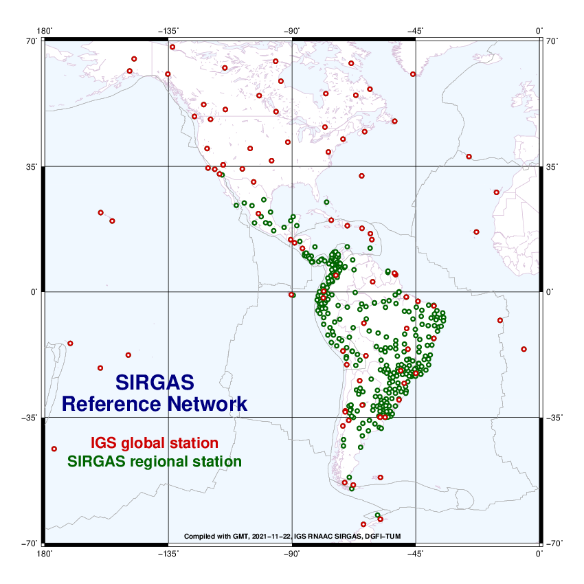
AEPL00COL (Planadas), ALTA00ARG (Los Altares), BRBR00CRI (Bribrí), CANO00COL (Puerto Carreño), CHLS00CRI (Los Chiles), LCRZ00CRI (La Cruz), LROS00ARG (Las Rosas), MBIO00ATA (Marambio Base), OBRA00ARG (Obera) , PDE300ARG (Puerto Deseado), PELU00ARG (Pedro Luro), QUEP00CRI (Quepos), SICO00ARG (Sierra Colorada), SMDM00ARG (San Miguel del Monte), SPRZ00ATA (Base Esperanza), TGTA00ARG (Tinogasta), TOSF00ARG (Tostado).
The contributions made by Argentina, Colombia and Costa Rica are an active contribution to the definition of regional and international geodetic reference frames in the Americas.

