

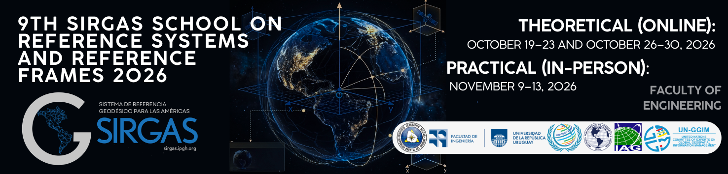
9th SIRGAS School on Reference Systems and Reference Frames 2026
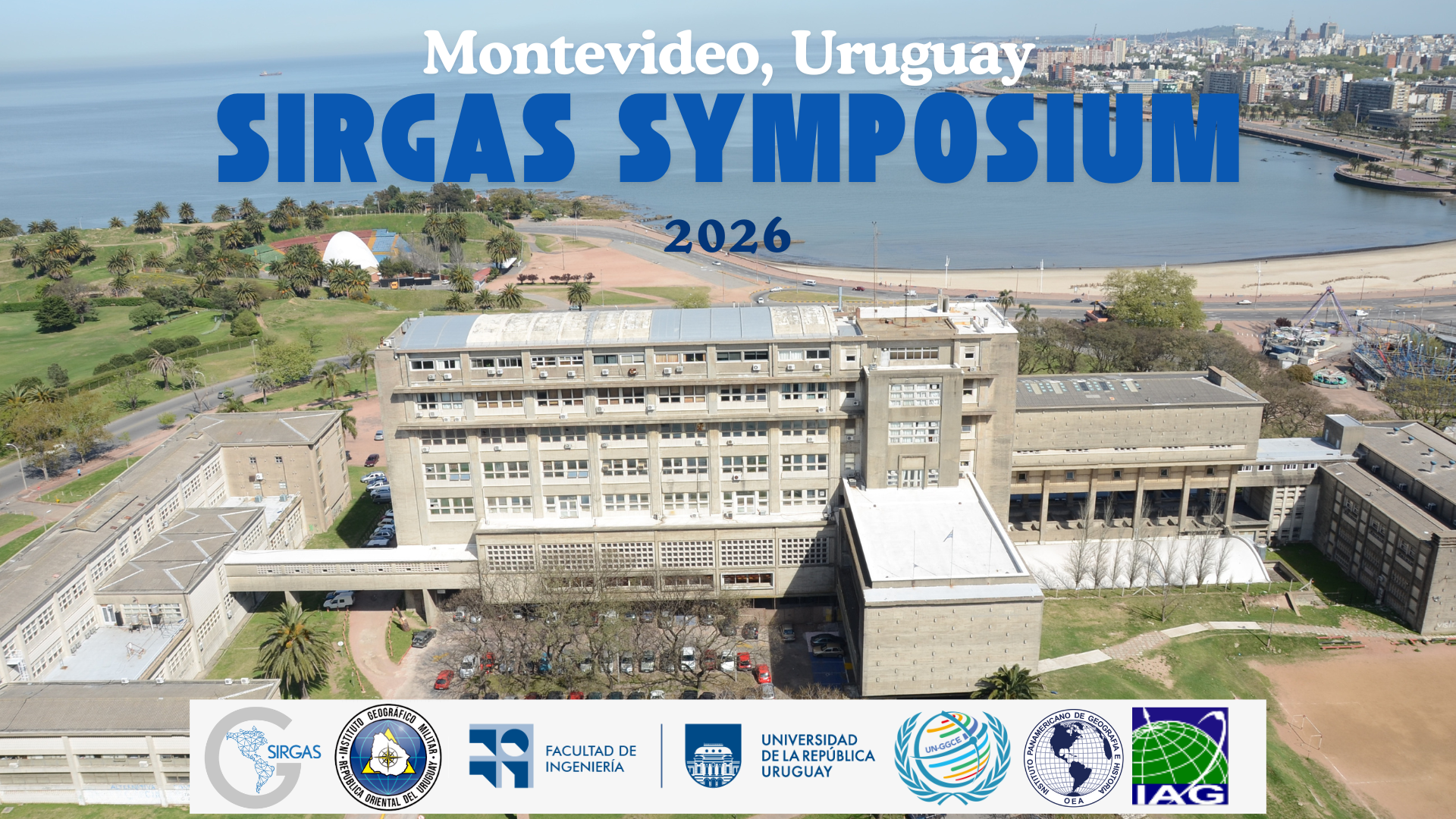
The 9th SIRGAS School on “Systems and Frameworks of Reference” will be held in hybrid mode between October and November 2026. The theoretical phase will take place virtually, while practical activities will take place in person at the Faculty of Engineering of the University of the Republic, in Montevideo, Uruguay.
Aimed at professionals, young scientists and national agency staff, the School will provide specialized training in physical and geometric geodesy, GNSS and gravimetric data processing, network adjustment and use of scientific software. The program seeks to strengthen the technical capabilities of participants in the development and maintenance of geodetic reference frames.
More information: Link


 Publication date: May 12, 2025.
 PDF (English):
  Article access:
