

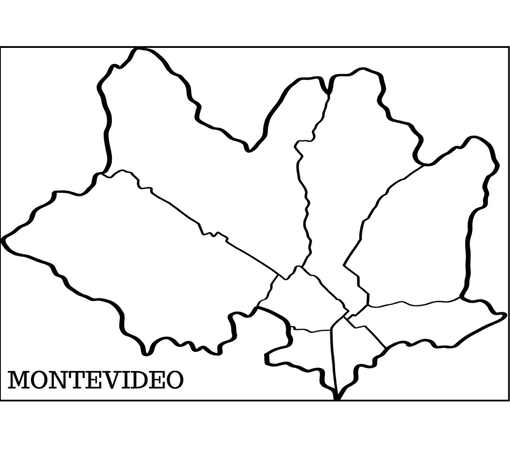
Montevideo – Uruguay
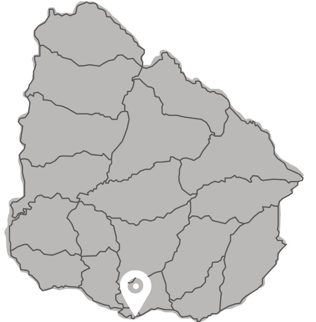
Montevideo is located in southern Uruguay, on the coast of the Río de la Plata, and is the capital and most populous city of the country. Its central geographic coordinates are approximately 34°54’21” S (south latitude) and 56°11’29” W (west longitude).
Its average altitude is approximately 43 meters above sea level. The urban area of the city proper covers approximately 201 km².
The department of Montevideo is the smallest in the country, but the most populous. According to the results of the 2023 Census by the National Institute of Statistics (INE), the department’s population is approximately 1,302,954 inhabitants, representing about 40% of the country’s urban population. Nationally, Uruguay has a total population of 3,499,451 inhabitants.
Uruguay is located in southeastern South America, between approximately 30° and 35° south latitude and 53° and 58° west longitude. It borders Brazil to the north, Argentina to the west (across the Uruguay River), the Río de la Plata to the south, and the Atlantic Ocean to the east.
Montevideo is a diverse city, a blend of history, culture, commerce, services, government administration, light industry, art, education, and tourism, serving as Uruguay’s political, economic, cultural, port, and service hub. Its status as the national capital, the country’s main port, and administrative center reinforces its role as the epicenter of the territory, comparable—on a different scale and in a different geographical context—to what Bogotá represents in Colombia.
The Port of Montevideo, formally established between 1724 and 1730 as a key element of Spanish defense, evolved from a natural bay into one of the main logistical centers of the Río de la Plata. Following its modernization between 1901 and 1909, it consolidated its position as a fundamental economic engine of the country, distinguished by its deep-water draft and its continuous operation as an export center, initially for livestock products and currently also for containerized cargo.
Thanks to its coastal location and temperate climate, Montevideo enjoys a humid-temperate climate with mild seasons: cool winters and pleasant summers, without the extreme temperature variations or significant altitude changes found in Andean cities.
Montevideo maintains a human-scale urban style, with abundant green spaces, historical heritage, and a more relaxed atmosphere than many large metropolises in the region. Its geography—characterized by the coastline, the bay, the port, the beaches, and gentle hills—gives it a unique character within the South American context.
The SIRGAS 2026 Symposium event will take place in:
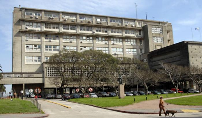
Facultad de Ingeniería – UdelaR
Av. Julio Herrera y Reissig 565, 11300 Montevideo, Departamento de Montevideo
The Faculty of Engineering of UDELAR, located in the Punta Carretas neighborhood, is about 17-20 km from Carrasco Airport, which translates to a trip of approximately 25-40 minutes by taxi or car.
Learn more about the Faculty of Engineering – UdelaR here:
The Faculty of Engineering (Fing) at the University of the Republic (UdelaR) in Uruguay was established by law on November 27, 1915, evolving from the former Faculty of Mathematics founded in 1885.
Its iconic building, located in Parque Rodó and designed by architect Julio Vilamajó, was inaugurated in 1950. For over a century, the institution has been a pioneer in technical training in areas such as civil, electrical, mechanical, and computer engineering.
History and Key Milestones
Origins (1885–1915)
Originating from the Faculty of Mathematics and Related Branches, it began offering courses in 1888 and awarded the first national engineering degrees in 1892.
In 1915, it was formally established as the Faculty of Engineering, alongside the Faculty of Architecture, initially sharing a building in the Old City.
The Parque Rodó Building (1938–1950)
In 1938, the cornerstone of the current building, designed by architect Julio Vilamajó and engineer Walter S. Hill, was laid.
The move to this location was completed in 1950, and in 1975 the building was declared a Historical Monument.
Academic Development (1960s–1990s)
In 1967, six-year curricula were approved for the electrical, civil, and mechanical engineering programs.
That same period saw the creation of the country’s first tertiary technical degree: Engineering Technician.
In 1969, the University Computer Technician degree program was established, followed by the Computer Systems Engineer degree program in 1974.
Main Attractions:
• Architecture: It is a masterpiece of modern architecture in Uruguay, notable for its reinforced concrete structure and abundant natural light.
• Ocean Views: Its prime location offers excellent views of Montevideo’s waterfront promenade.
• Engineering Showcase: At this event (usually in October), you can visit laboratories, wind tunnels, and the wave tank.
• Surroundings: Located at a connecting point near Parque Rodó, it’s ideal for exploring the area and the building itself.
• Current Development: Since the 1990s, the Faculty has expanded its postgraduate, master’s, and doctoral programs, consolidating its work in research and continuing education in technological fields.
Learn more about the Faculty of Engineering – UdelaR here:
https://www.fing.edu.uy/
The host of the SIRGAS 2026 Symposium is:
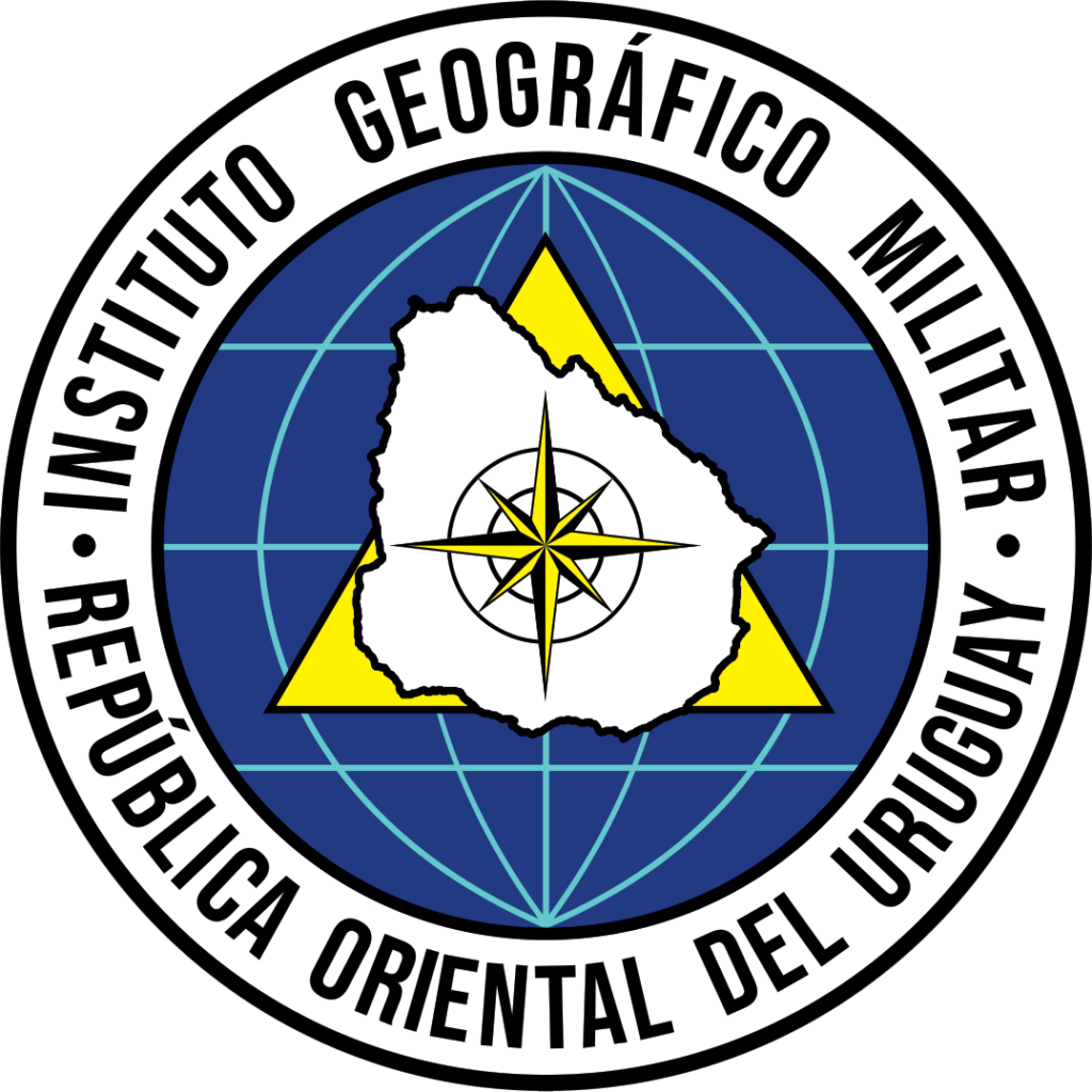
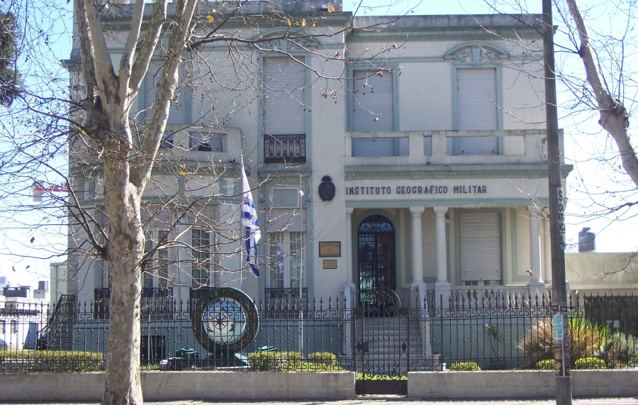
Military Geographic Institute – IGM (Uruguay)
This institute is the country’s official geographic authority, responsible for ensuring the preparation, updating, preservation, distribution, and evaluation of national cartographic materials; establishing, maintaining, and expanding the national geodetic network; supervising and approving cartographic publications in its field; participating in the delimitation of international boundaries and international commitments; and establishing, maintaining, and operating geographic information systems to support planning, security, national development, and decision-making by the Uruguayan State.
For more information, please visit: https://igm.gub.uy/
Historical Milestones:
Foundation (1913): Established as a department attached to the General Staff to create the planimetric and altimetric topographic map of Uruguay.
Permanent Mission: For over a century, it has been dedicated to the measurement, data collection, and official geographic representation of Uruguayan territory.
Technical Evolution: It has incorporated modern technology for the maintenance of the national geodetic network (triangulation, leveling, gravimetry, and magnetism).
Current Status: It operates under the auspices of the National Army, responsible for official cartographic production, and since 2013 has published a commemorative book detailing its first 100 years of work.
Headquarters: Its current location is in the La Blanqueada neighborhood of Montevideo, on the former estate of the Hontou family, according to Wikipedia.
More Information:
–YouTube – Historia – Museo Instituto Geográfico Militar – Wikipedia